
The Geography of Your Yatra
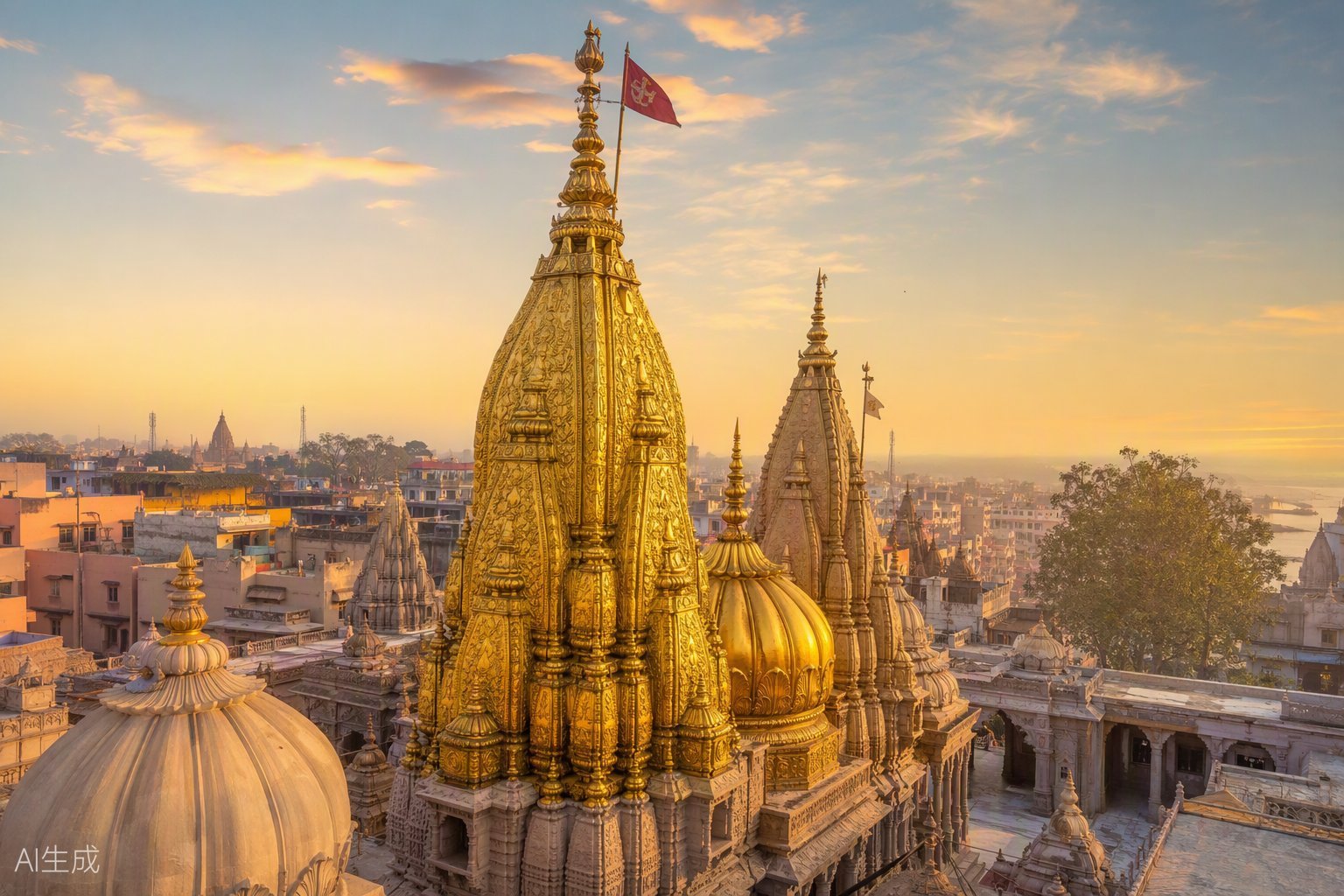
Kashi's sacred geography is simple once seen on a map: the Ganga arcs along the east, the ghats step down to her bank, the temple sits a short walk above Dashashwamedh and Manikarnika, the old city spreads west, and the stations and airport lie further west/northwest. Use the interactive map below for exact positions.
Key Routes
| Route | Notes |
|---|---|
| Airport → city | ~26 km; taxi/app cab 45–75 min depending on traffic. |
| Varanasi Jn → Godowlia | ~5 km; auto/e-rickshaw, then walk into the temple zone. |
| Kashi station → temple | ~4 km via the northern approach. |
| Dashashwamedh Ghat → temple | Short walk up through the corridor or Vishwanath Gali. |
| Assi Ghat → temple | ~2 km — a beautiful riverfront walk or a quick e-rickshaw. |
Map accuracy
Marker positions use published geographic coordinates. Traffic routes and access points change; verify the day's approach with your hotel or local police signage.